You know which workflow should become agent-driven.
We reconstruct how the work happens, then build one useful vertical around the systems you already use.
Applied work
Bring an established workflow. Axis Spatial adds the AI and spatial engineering needed to turn it into one working agent system.
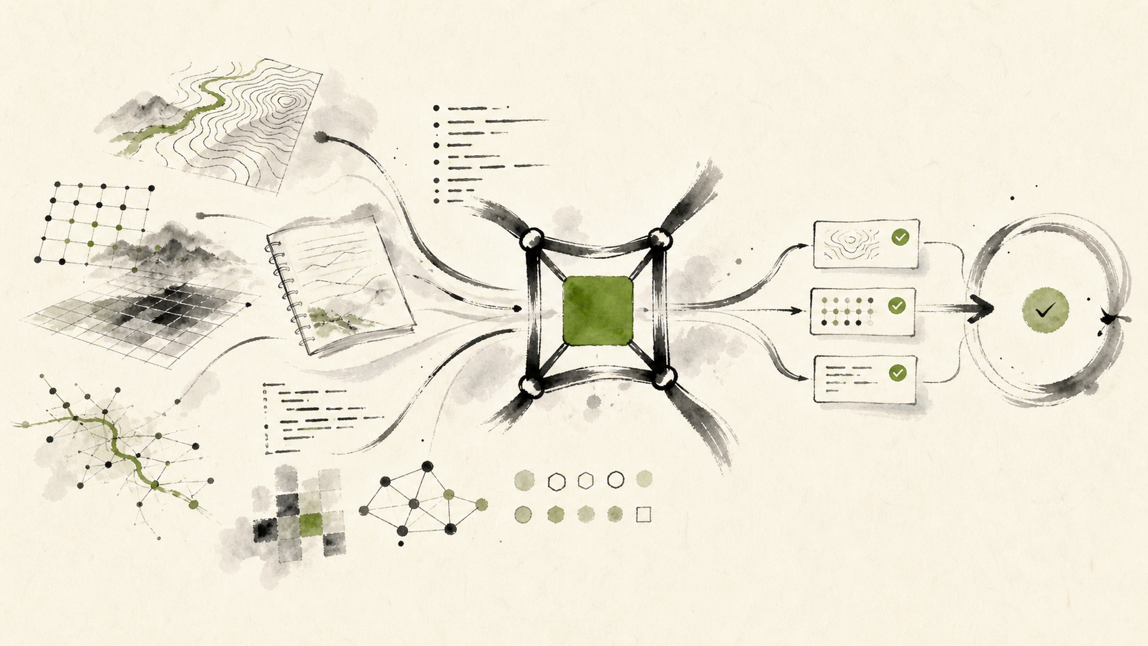
The complete system
Domain experts and operating rules
Existing programs and workflows
Spatial data, imagery, and project files
GIS and other professional software
Model selection and benchmarking
Agent planning and tool use
Spatial grounding
Orchestration, recovery, and checking
Where we start
We choose a bounded job, connect the real data and software, and build checking into the workflow from the beginning.
We reconstruct how the work happens, then build one useful vertical around the systems you already use.
We strengthen its spatial grounding, software integration, recovery, and checks around a defined job.
We identify its real dependencies and accepted outputs before rebuilding it for a new environment.
How we engineer it
Models handle interpretation, planning, ambiguity, and choosing the next action. Existing programs remain responsible for operations that must be explicit and repeatable.
Spatial grounding keeps the system connected to what your places, data, rules, and software state actually mean. Orchestration, recovery, and checking keep that meaning intact through the job.
Migration Engine · In development
Migration Engine reconstructs the programs, files, settings, manual decisions, and accepted outputs that make a legacy spatial workflow work before a replacement is built.
Tell us about a migration workflow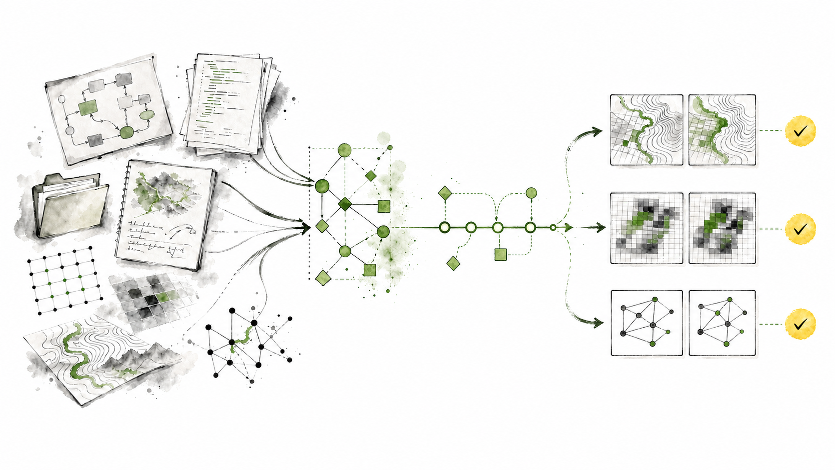
Start here
Tell us how the work happens today, which data and software it uses, and what the completed workflow needs to deliver.