Keep the place, data, rules, uncertainty, and goal together.
Recognition · 2026
Axis Spatial was included as a new entrant in Geoawesome's 2026 Global Top 100 Geospatial Companies.
Read the noteApplied research and engineering
We build AI agents for geospatial work.
Axis Spatial helps teams build agents that use maps, imagery, geospatial data, and GIS tools.
Each system includes checks that show whether the result is ready to use or needs review.
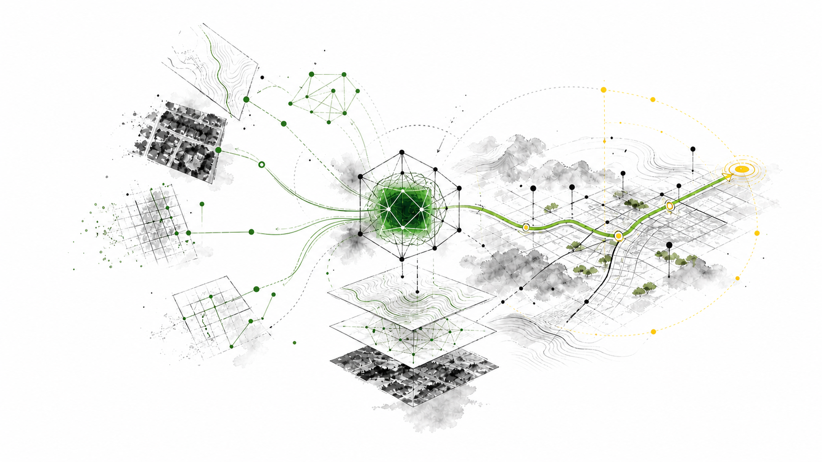
What the agent must do
Understand the data. Use the tools. Check the result.
Calling a map tool is easy. The useful part is knowing what the data means, choosing the right action, and showing why the result can be trusted.
Use the GIS, code, imagery, and systems the job actually needs.
Test the output and keep the evidence behind the decision.
What we do
Applied work and published evidence.
We build systems for defined workflows. We publish selected tests, failures, and limits from that work.
Axis Spatial Arena
See how we record the source, test, result, and limit for geospatial AI evaluations.
Read the researchStart here
Do you want to add an agent to a geospatial workflow?
We will review the workflow, identify the data and tools, and show how we would test the result.